
Monitor
Field, crop and product conditions
From Genetics to Fork
Connect field sensors, satellite context and product condition records to support earlier decisions on irrigation, fertiliser, crop risk, quality and traceability across the full agriculture lifecycle.
Field, crop and product conditions
Irrigation, fertiliser and crop-risk priorities
Condition records across every handover
The lifecycle problem
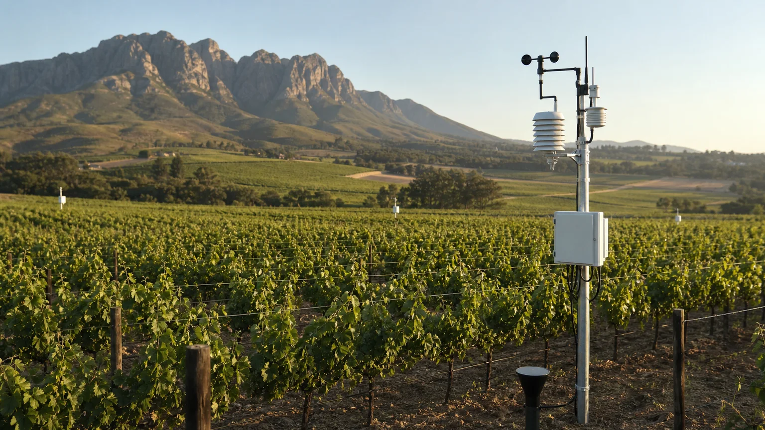
Field sensors, spreadsheets, packhouse records and logistics systems often provide separate views. When those views are disconnected, irrigation issues, crop risk, storage exceptions and quality concerns are harder to identify early or trace to their source.
Field, facility and logistics teams often work from separate operational records.
Temperature, moisture, handling and exposure are not always connected to crop or product identity.
Teams may discover irrigation, crop-risk or storage problems only after quality has been affected.
Root-cause review is harder when condition, source, movement and custody records cannot be viewed together.
Connected lifecycle
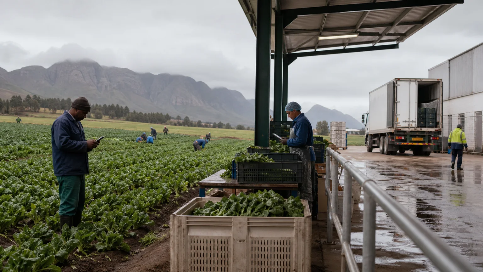
Nvirosense™ connects field sensing, satellite context, calibrated instrumentation, AI vision, QR and barcode workflows and mobile tools. Growers and agricultural operators can compare field conditions with later quality, storage, transport and handover events instead of losing context at each stage.
Live Agriculture Intelligence
Explore interactive views across crop health, soil moisture, pest and fungal risk, and terrain to see how Nvirosense™ turns field and satellite data into practical agricultural decisions.
Block monitoring · Demonstration data
Research-grade intelligence
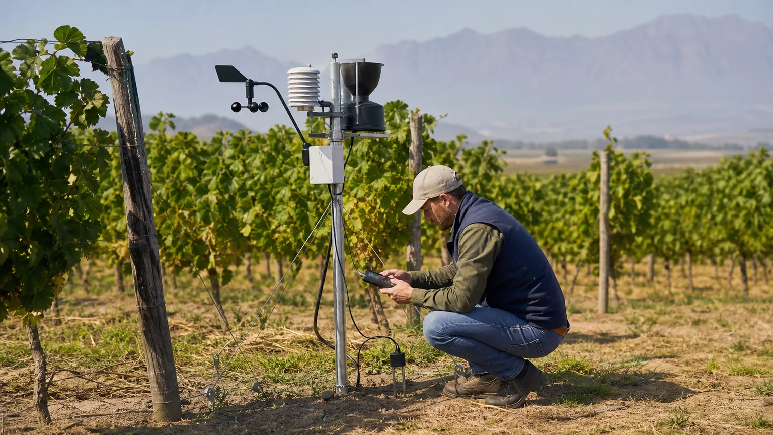
Reliable instrumentation makes field comparisons more useful. Growers can prioritise irrigation, fertiliser planning, crop risk review and scouting visits using observed conditions instead of isolated readings or unnecessary routine tasks.
Evidence inputs
Operational decisions
Ground truth AI
Compare soil and weather conditions, irrigation activity and environmental risk indicators in one connected view, then prioritise the blocks and tasks that need attention.
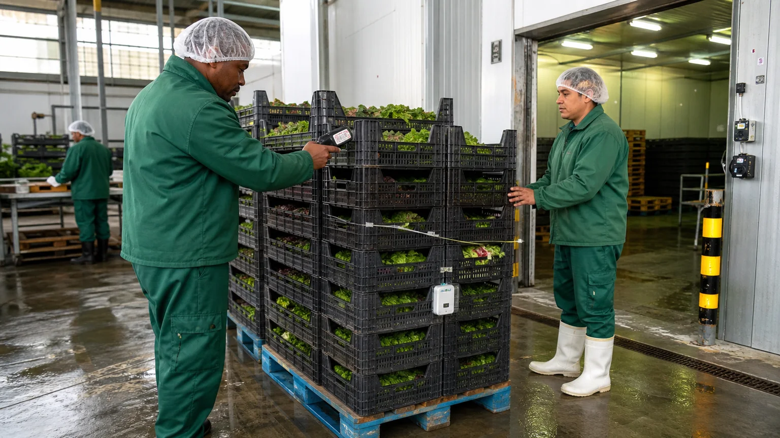
Traceability must capture condition
A useful lifecycle record connects product identity and custody with field stress, storage state, cold-chain performance, handling events and irrigation context. That continuity gives operators and buyers stronger root-cause information when quality changes.
QR and barcode workflows can connect product identity with field and facility conditions.
Each handover can retain condition data instead of starting a separate record.
Combined field, handling and cold-chain records support faster investigation.
Selected, approved summaries can make source, condition and custody clearer.
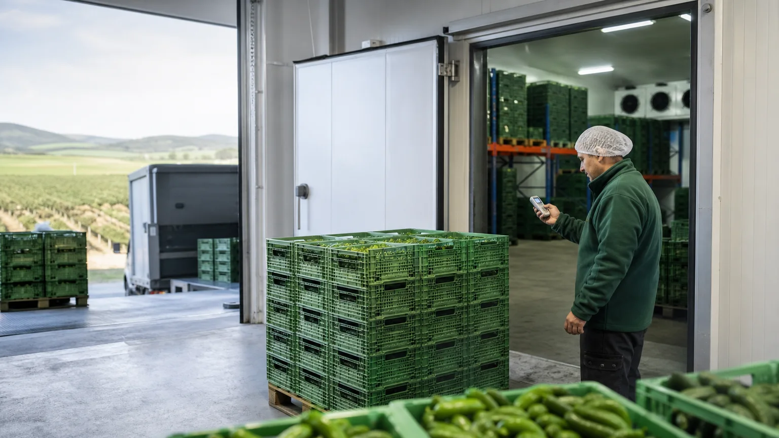
Field context can continue through pre-cooling, storage and loading, where temperature, movement, handovers and exceptions affect quality.
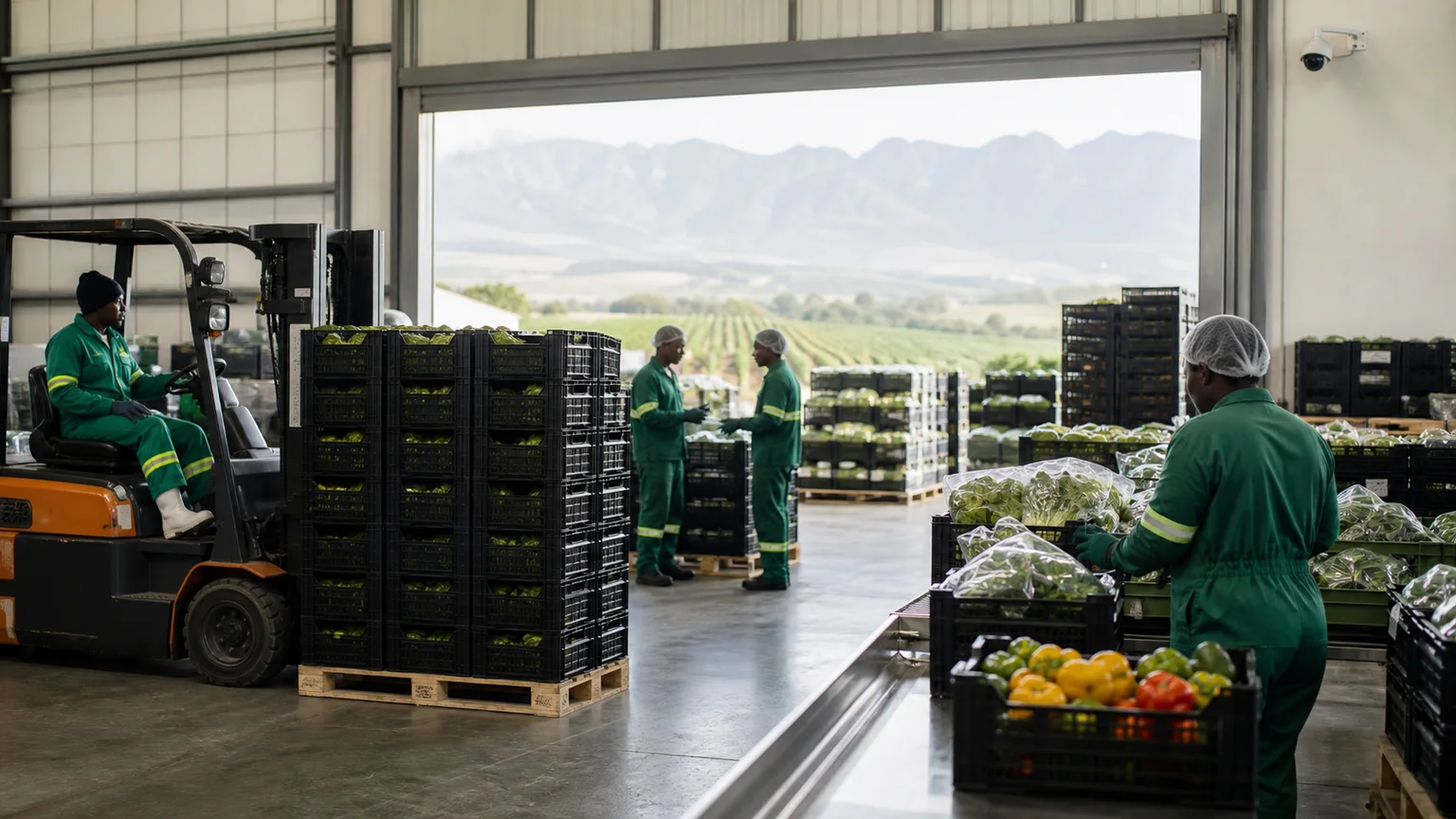
Camera-derived events can support handling, loading, PPE, queue and dispatch review without turning the workflow into generic surveillance.
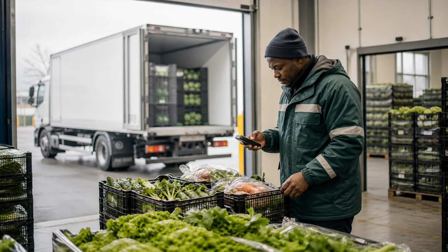
Condition and custody context can continue through delivery and retail, helping teams compare downstream quality with earlier field and storage events.
Earth Project
Long-term field observations can support comparisons of growing conditions, resource use and regional risk while the page remains focused on practical day-to-day agriculture decisions.
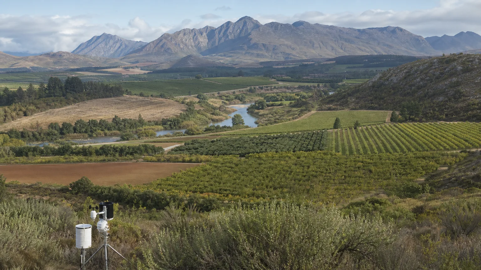
Turn soil moisture and temperature evidence into more efficient field decisions.
Read insightRelate local weather conditions to crop operations and environmental risk.
Read insightUse field conditions and observations to focus scouting where attention is needed.
Read insightLifecycle intelligence
Connect field conditions, operational decisions and product handovers in a monitoring approach suited to the crop, site, facilities and onward logistics.