

Observe
Satellite context
Golden Acres™
Golden Acres™ is the environmental intelligence layer behind Nvirosense™. It brings together satellite observations, scientific field instrumentation, environmental physics and calibrated models to guide how environmental conditions are measured, interpreted and translated into monitoring insight.
Satellite context
Ground evidence
Calibrated models
Why this matters now
Climate volatility, water scarcity, variable microclimates and food-security pressure require more precise environmental decisions. Remote sensing provides valuable scale, but it still needs calibration, context and field-level interpretation.
Environmental conditions are becoming less predictable across growing regions.
Irrigation decisions need a clearer view of moisture stress and atmospheric demand.
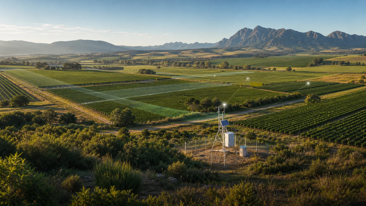
Satellite layers provide wide-area context, while ground measurements improve interpretation and confidence.
Calibrated models can now process richer environmental histories and field observations.
The visibility problem
Most fields lack enough ground-data infrastructure to explain local variation.
Remote-sensing layers alone may not provide the local fidelity needed for confident action.
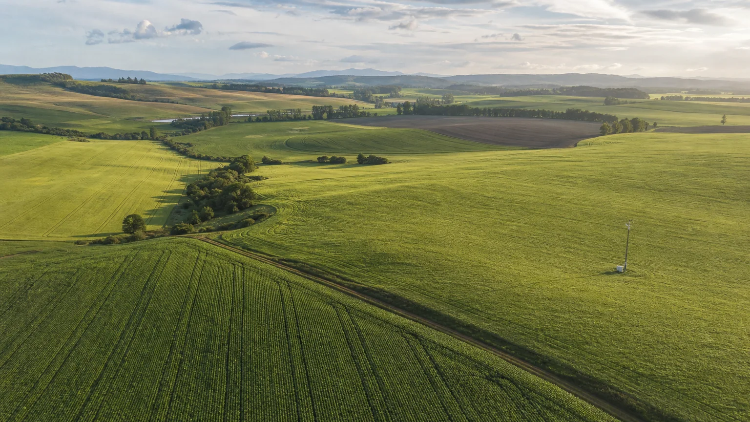
Soil, canopy, slope and water movement can shift inside a single field.
Regional weather stations can miss field-level microclimate behaviour.
Heat, humidity, radiation and soil moisture can move faster than manual scouting.
One sensor per decision area is rarely economical across large regions.
Hybrid intelligence architecture
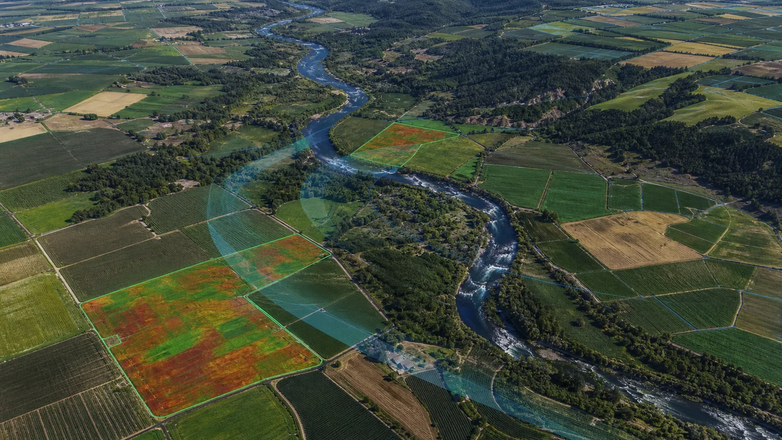
Sentinel-2 multispectral imagery, Sentinel-1 SAR data and thermal context.
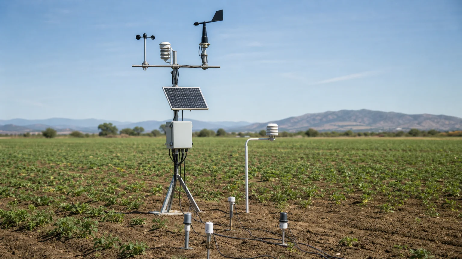
LI-COR instruments, PAR, radiation, soil and environmental telemetry capture field evidence.
Ground observations calibrate satellite-derived predictions and environmental models.
Digital twins represent blocks, zones and operating conditions over time.
ET0, VPD, heat-stress, drought and disease-risk signals indicate emerging pressure.
Insights support irrigation, scouting, reporting and operational decisions.
Observing agriculture from space
Measuring the living environment
Scientific field instruments provide the local evidence needed to interpret remote observations, validate datasets and strengthen environmental models.
Pressure, humidity, dew point, VPD and wind dynamics.
GHI, longwave, shortwave and net radiation balance.
Root-zone moisture, soil-temperature profiles, wetness and evapotranspiration.
Research operations
Bring field stations, active sensors, dataset status, validation and model outputs into one operational view for monitoring, analysis and insight.
Research operations · Demonstration data
Digital twins
Golden Acres™ interprets the farm as a connected environmental system. Strategically placed ground instruments calibrate satellite-derived and modelled layers, supporting predictions, forecasts and monitoring insight across wider agricultural zones.
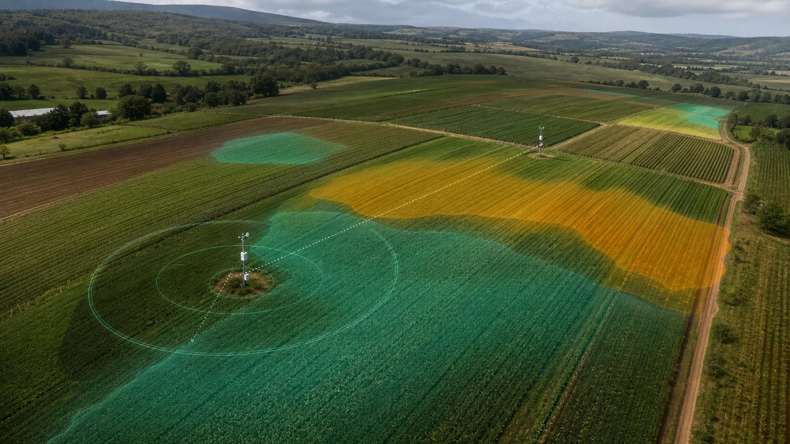
Forecasting environmental pressure
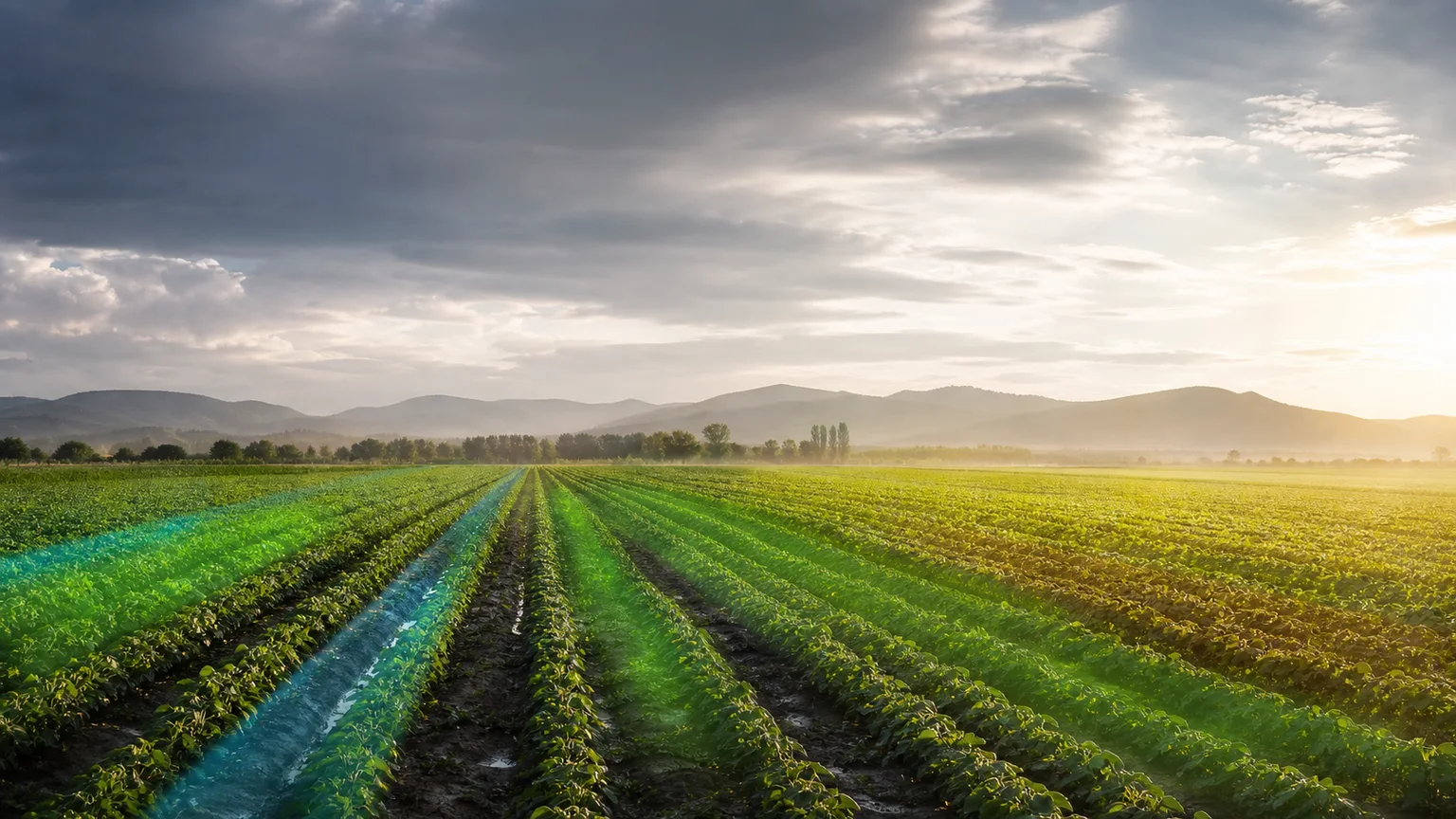
Sub-hourly ET0, VPD and radiation projections and forecasts.
Stress modelling and growing-degree-day accumulation.
Drought progression and SPEI analysis.
Canopy-temperature and VPD threshold indicators.
Soil-moisture-deficit-driven irrigation forecasts.
Humidity- and temperature-based pathogen-pressure modelling.
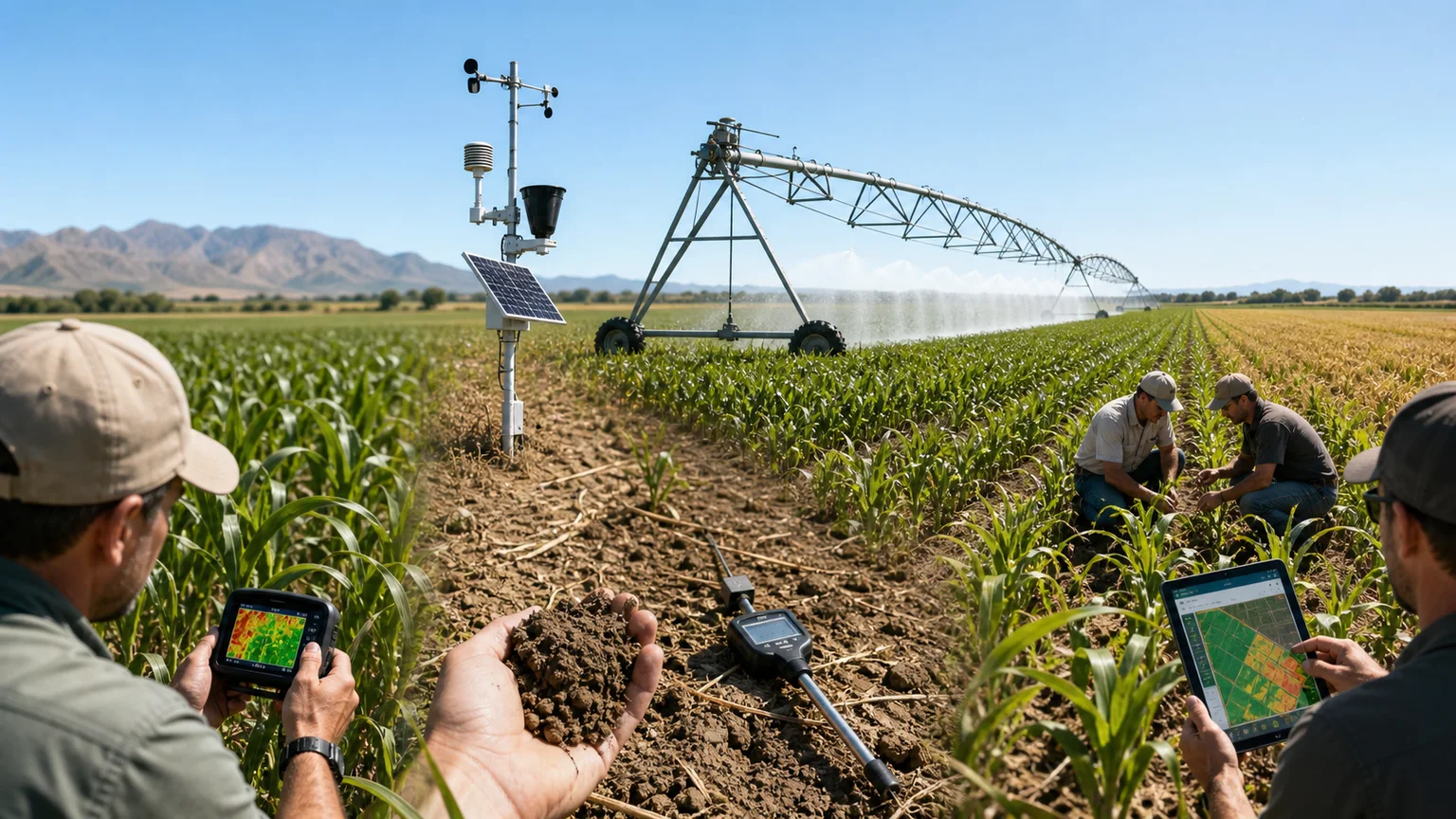
When VPD, thermal-stress and soil-moisture signals converge, the platform can indicate a practical response window before crop stress becomes clearly visible.
Earth Project
The same intelligence layer can extend beyond agriculture into water systems, climate, carbon, infrastructure and research-grade environmental monitoring.
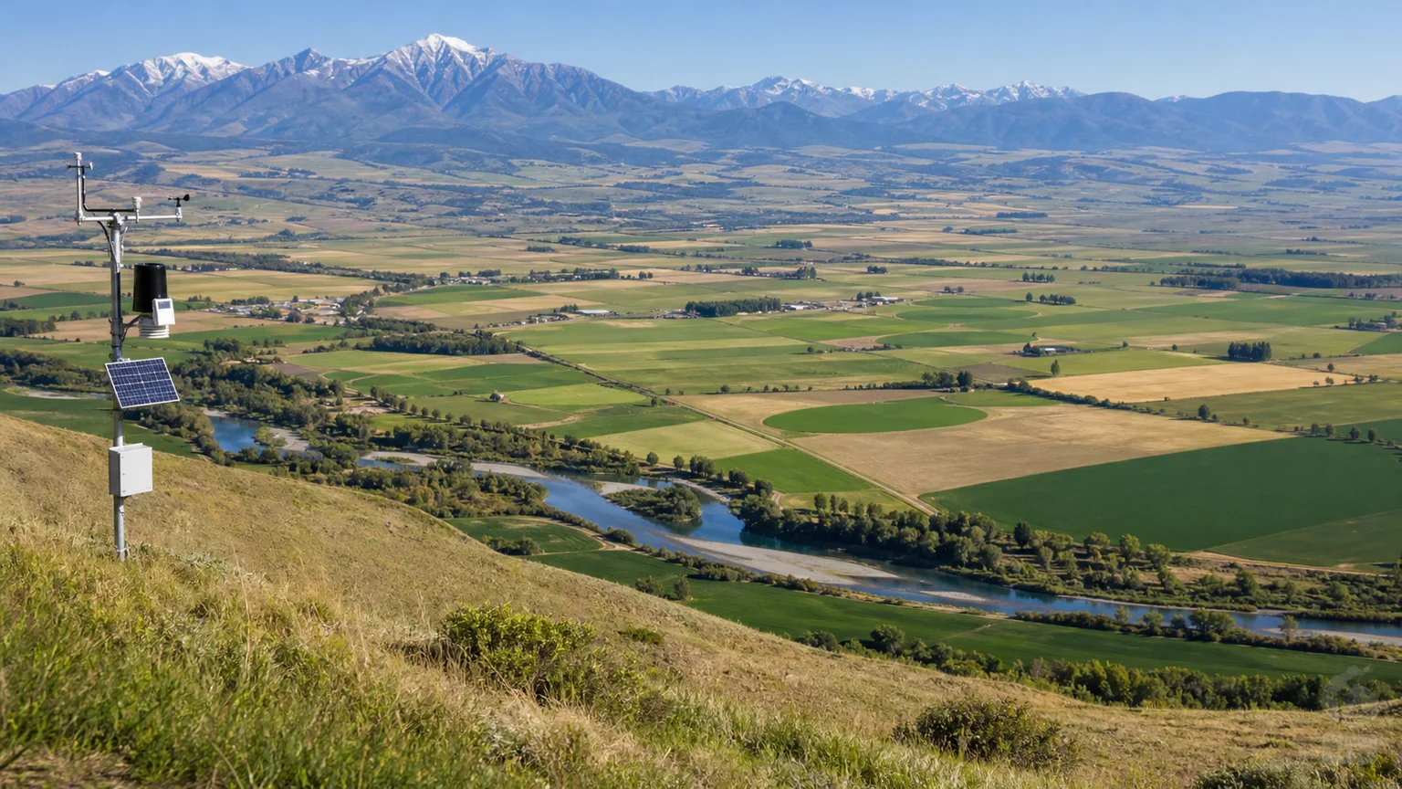
Research to operations
Nvirosense™ brings research-grade sensing, satellite layers and calibrated models into deployable monitoring products for agricultural, research and environmental programmes.