

July 05, 2023
Protecting Wildlife with Smart Tracking
Low-power tracking, geofences and environmental context help conservation teams study wildlife movement and direct attention to potential threats.
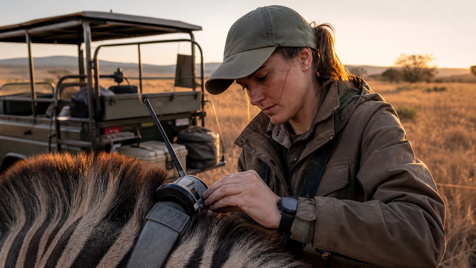
Wildlife conservation often takes place across vast areas where direct observation is difficult and human presence can disturb the animals being studied. Connected trackers and field sensors extend that observation, producing location and condition evidence that researchers and rangers can use to understand movement and prioritise response.
Design tracking around animal welfare
A collar or tag may record location, movement and selected physiological indicators such as skin temperature or heart rate. The device, attachment method and sampling schedule must be appropriate to the species, research purpose and ethical approval, with weight and handling kept as low as practical.
Remote data can reduce repeated physical observation, but it does not replace veterinary or ecological assessment. An unusual movement or physiological signal should be treated as a prompt for competent review rather than an automated diagnosis of distress.
Turn movement into ecological evidence
Repeated location records reveal far more than a dot on a map. Over time they can show migration corridors, home ranges, breeding areas, water dependence and changes in habitat use. Researchers can compare these patterns with seasons, vegetation, fire, weather and human activity.
Nvirosense™ retains the time and device context behind the route, allowing teams to distinguish a genuine behavioural pattern from a communication gap or improbable position. The resulting history can support habitat planning and restoration decisions.
Use geofences as early-warning boundaries
Virtual boundaries can mark protected areas, roads, farms or known high-risk zones. An entry or exit event may notify rangers that an animal is leaving a safer area or approaching a place where human-wildlife conflict or poaching risk is higher.
Geofences must account for location accuracy and the realities of terrain. They support attention and coordination; they do not guarantee prevention. A defined response plan, responsible recipients and protection of sensitive location data are as important as the alert itself.
Choose communications for remote landscapes
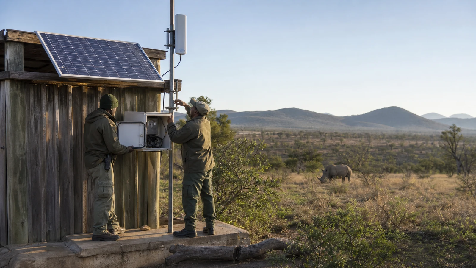
Low-power wide-area technologies such as LoRaWAN can offer long battery life and broad gateway coverage for sparse messages. Several trackers may report through shared infrastructure, making the approach attractive for reserves where frequent battery changes and conventional mobile service are impractical.
Actual range depends on topography, vegetation, antenna placement and gateway availability. Local storage, missed-report detection and field maintenance should be designed into the deployment so that a weak connection is visible rather than confused with an animal emergency. South African conservation projects have demonstrated the potential of durable trackers for alerting rangers when rhinos move towards poaching hotspots, providing a practical model for other threatened species.
Protect the evidence as carefully as the species
Wildlife location records can be highly sensitive. Access controls, limited sharing and clear retention rules reduce the risk that information intended for conservation could expose animals or ranger operations. The system should also preserve audit history for changes to boundaries and alert recipients.
When managed responsibly, tracking evidence can help teams evaluate interventions, allocate patrols and communicate conservation needs. It strengthens human judgement with a wider field of view while keeping ecological, welfare and security decisions with the responsible experts.
Smart tracking contributes to conservation when it is reliable, ethical and secure. By combining animal movement with habitat and risk context, teams can learn from remote landscapes and act on credible signals without losing sight of the welfare and protection objectives the technology is meant to serve.