

September 21, 2023
Disaster Management Using IoT Sensors
Distributed sensors and traceable analytics can improve early warning, situational awareness and response coordination for floods, landslides, fires and air-quality events.
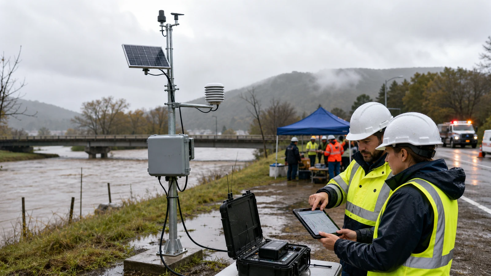
Large coastal waves, floods, landslides, fires and severe storms can develop faster than conventional reporting channels describe them. South African communities also face uneven infrastructure and communications coverage, which makes local evidence especially valuable. Connected sensors can shorten the distance between a changing environmental condition and the people responsible for acting. They cannot prevent a disaster or guarantee a warning, but they can strengthen preparedness, early detection and the shared operating picture during a response.
Build early warning from local observations
A disaster-monitoring network starts with the hazard and the decision it must support. River level, rainfall, soil moisture, ground tilt, smoke, particulate matter, pressure or seismic motion each answer a different question. Stations should be located through technical and community risk knowledge, with thresholds related to local terrain, catchments and evacuation plans rather than copied from an unrelated site.
Nvirosense™ can combine readings from distributed devices with weather, map and asset context. Each observation retains its time, location and device identity so analysts can follow an alert back to the source. This provenance is vital when several agencies need to understand why a warning was issued or adjusted.
Watch water from catchment to coast
Level and rainfall sensors along rivers, dams and drainage channels can show how quickly water is rising and how a storm is moving through a catchment. Ultrasonic or pressure instruments may suit different locations, while flow context and upstream rainfall improve interpretation. A rapid rise can trigger closer review, public communication or pre-agreed protective action before downstream flooding is visible.
Coastal monitoring may include pressure, wave and tide observations, supported by authoritative regional warning services. A local sensor should not be treated as a standalone tsunami forecast. Its value is as one evidence stream in a broader system that joins ocean, weather and seismic information with tested evacuation protocols.
Recognise unstable slopes and changing air
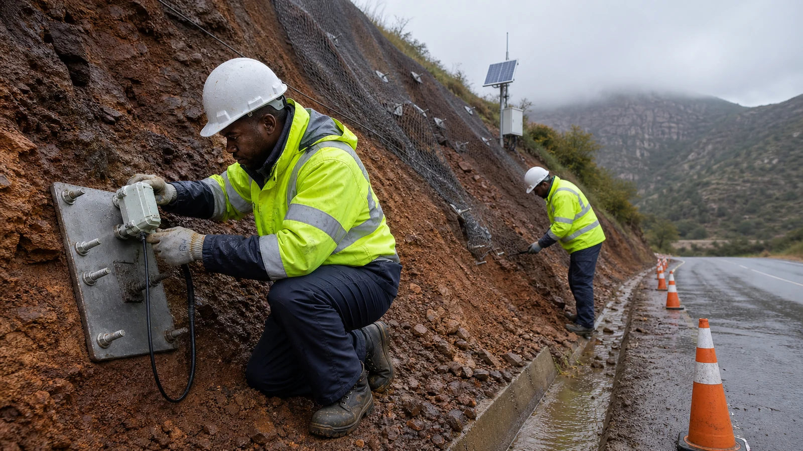
Landslide risk can be informed by rainfall accumulation, soil moisture, ground vibration, tilt and displacement measurements in vulnerable areas. Models may identify combinations associated with increasing risk, but geology, drainage, land use and previous failures require expert interpretation. Field inspections remain an important counterpart to remote sensing.
Air-quality sensors extend disaster intelligence beyond natural hazards. Smoke and particulate readings can indicate wildfire impacts, while pollutant measurements help authorities target health guidance during industrial or urban episodes. Sensor siting, maintenance and local reference checks affect how well these observations represent community exposure.
Turn data into a coordinated response
More data does not automatically produce a faster response. Agencies need agreed alert levels, responsible roles, reliable contact channels and messages that communities understand. Dashboards can show affected areas, sensor status, road or asset context and the sequence of alerts. Mobile or control-room teams can then record actions against the same event timeline.
Connected information may support traffic diversion, evacuation planning and deployment of rescue resources, but authority remains with emergency-management structures. Regular drills should test not only the sensors, but also handovers between technical teams, municipalities, responders and community representatives.
Use analytics without hiding the evidence
Predictive models can compare live measurements with historical events, terrain and weather forecasts to prioritise a possible escalation. They may reduce nuisance alarms by considering several signals together. Because missed and false warnings both carry consequences, model performance should be reviewed transparently and outputs should link back to the contributing observations.
Drones and additional remote-sensing sources can extend coverage after an event, while tamper-evident records may support later review. These tools should be added where they solve a defined operational problem, not because novelty guarantees better outcomes. Nvirosense™ analytics is designed to preserve the path from raw reading to alert and response.
Engineer for disrupted infrastructure
Disasters often damage power and communications precisely when monitoring is most important. Low-power wide-area technologies such as LoRa can connect small data packets over useful distances, but performance depends on terrain, gateway placement and interference. Battery or solar support, local buffering and redundant routes need to be tested under realistic conditions.
Device-health telemetry prevents a silent station from being mistaken for a stable environment. Maintenance access, vandalism risk and spare equipment also belong in the lifecycle plan. Investment decisions should consider not only installation cost, but training, calibration, communications, upkeep and the response capacity needed to use the information.
Connected sensing can move disaster management from scattered reports towards earlier, evidence-led coordination. Its strongest contribution is a trusted stream of local observations, joined to clear responsibilities and resilient communications. Nvirosense™ helps organise that environmental intelligence so responders can see change, trace an alert and act with better context while established authorities remain accountable for public warnings and emergency decisions.